Visualize
Open dense spatial data and move through it with a clear 3D view.

Tools for LiDAR and Point Cloud Data
Fast, practical tools for LiDAR and 3D data.
Klar3D
Klar3D develops practical tools for viewing, inspecting, measuring, processing, and working with 3D point-cloud data.
WolkeViz
WolkeViz makes it easy to open and explore point-cloud data directly in a modern browser. For local file workflows, viewing, inspection, basic editing, and measurements happen on the user's computer; the data is not sent to the cloud.
Launch WolkeViz →
Open point clouds directly from your computer.
Local files are processed in your browser and are not uploaded.
Designed for quick loading and responsive 3D visualization on ordinary laptops and desktops through client-side parsing and GPU rendering.
Open WolkeViz in a modern browser.
The PWA can run locally after its application shell has been installed or cached.
PLY, PCD, LAS, LAZ, and indexed ROS 2 MCAP recordings containing sensor_msgs/msg/PointCloud2 are supported.

LiDAR data modes
Point clouds are easier to understand when terrain, intensity, classes, and local measurements can be read in the same workflow.
Built for 3D data
Open dense spatial data and move through it with a clear 3D view.
Check points, surfaces, scan artifacts, and scene structure quickly.
Capture practical distances and spatial relationships in context.
Compare coloring modes, object classes, terrain, and returns.
LiDAR visual gallery

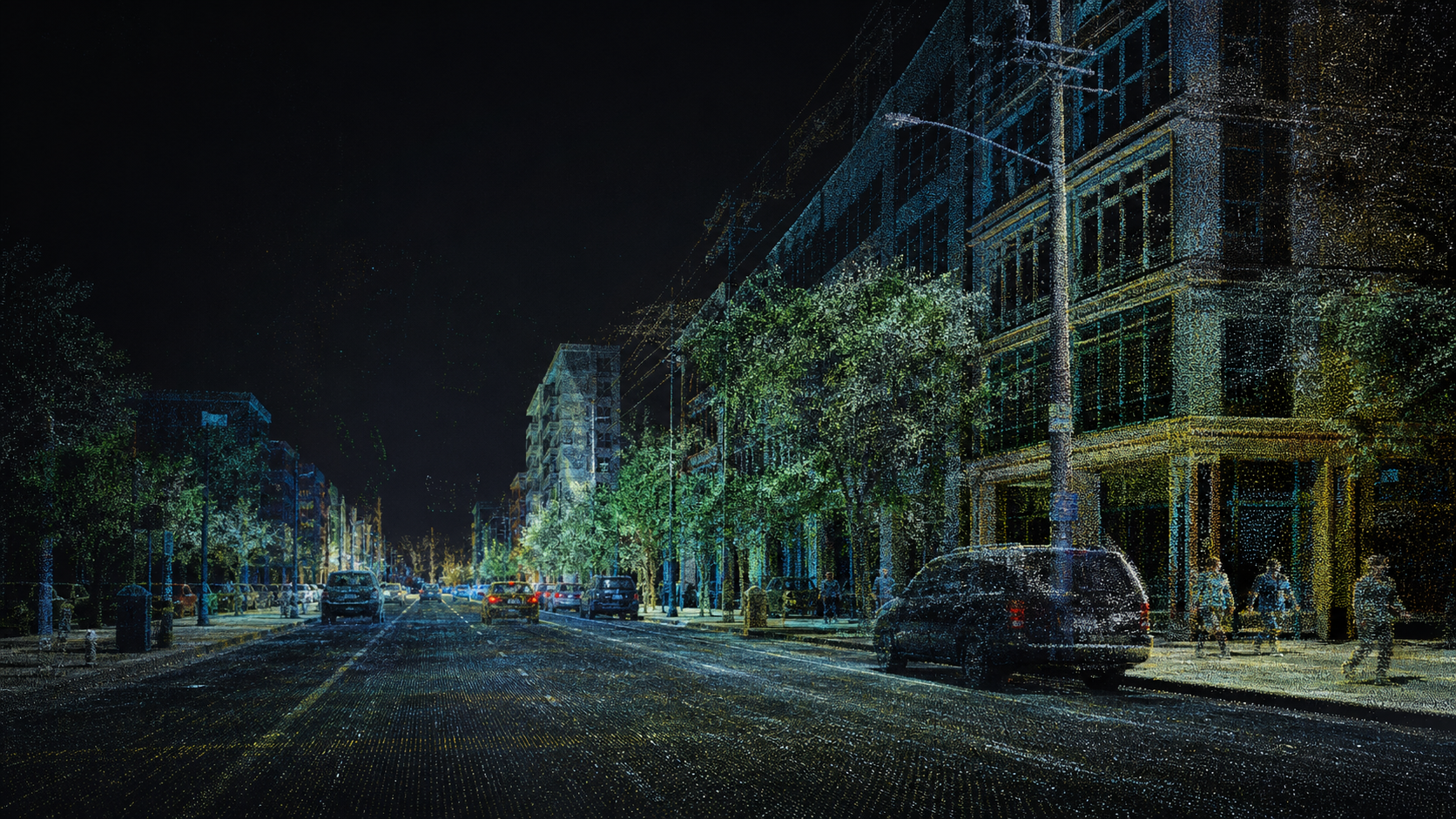
Ground-level LiDAR with buildings, road surfaces, trees, poles, pedestrians, and vehicles.

Roads, buildings, vegetation, and terrain relief viewed from an airborne scan.

Highway geometry with lane markings, structures, signs, vehicles, and roadside returns.

Ground, roads, buildings, vegetation, vehicles, and other objects separated by class.

Close-range point selection and spatial measurement between two features.

Canopy and bare-earth returns showing terrain under dense vegetation.
WolkeViz